Oracle, Arizona. Photo Credit: Meghann M. Vance.
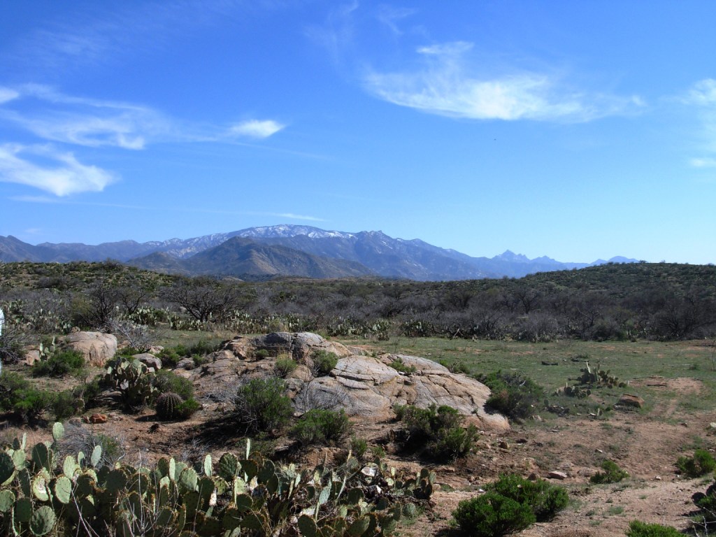
The Southern Basin and Range is an extension of the Basin and Range Province centered on Nevada and the Great Basin and extending from southern Oregon to western Texas, and into northwest Mexico. The Basin and Range derives its name from the alternating north-south trending mountains and flat valley floors comprising the province. The valley floors of the Southern Basin and Range are low desert basins, which are continuously filling with sediments resulting from the erosion of the surrounding mountains.
The Southern Basin and Range includes the Sonoran and Chihuahuan deserts – landscapes typical of the Southwest in the American imagination. Temperatures soar in the summer months, massive thunderstorms whip across the desert during the monsoon season, and water is scarce most of the year. However, this desert environment is rich in plant and animal resources, and with ingenuity and the proper technology, prehistoric people thrived in the Southern Basin and Range.
Area: 777,000 sq. km. (300,000 sq. miles).
Precipitation: 3-30 cm (2-12 in) per year.
Temperature: Summer temperatures in the Southern Basin and Range often measure 100 degrees F or more. Winter temperatures are mild, with few nights falling below freezing.
Elevation: Elevation in the Southern Basin and Range is typically below 1,200 meters (4,000 ft), although some of the associated mountain ranges extend much higher above sea level, creating floral and faunal refugia not typical of the southern deserts.
Life Zones: Lower Sonoran
Vegetation: Typically desert vegetation, including creosote bush, paloverde trees, saguaro and other cacti. Desert grasslands are also present at higher elevations, as are refugial forest regimes.
Geology: The basin and range topography of the southern portion of the Southwest results in heavy erosion and accumulation of alluvial sediments. Caliche, a white mineral deposit primarily formed from calcium carbonate, forms desert hardpans in the valley floors. The mountains of the Basin and Range are formed largely from igneous rocks, and contain copper deposits mined historically, and in some cases, into the modern era.
Prehistoric Cultures: Hohokam, Salado, Patayan, and Trincheras.
National Parks: Organ Pipe Cactus, Casa Grande, Saguaro, Tumacacori, Coronado, Chiricahua, Fort Bowie, White Sands, Guadalupe Mountains, Carlsbad Caverns, Ft. Davis, Big Bend, Rio Grande, and Amistad.