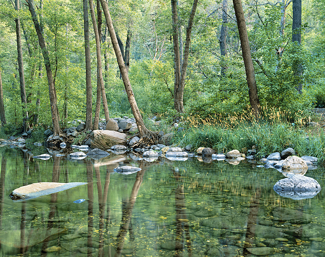
Oak Creek, Arizona. Photo Credit: Patrick McDonald.
The Transitional Highlands, or Central Mountains, consist of numerous rugged low mountains marking the boundary between the tablelands of the Colorado Plateau and the southern deserts of the Basin and Range physiographic zone. In the Southwest, the Transitional highlands are dominated by the Mogollon Rim, a massive break in the earth’s topography stretching diagonally across Arizona and into New Mexico. In places, the Rim is a sheer escarpment nearly 300 meters (1,000 ft) high.
Area: 33,735 sq. miles.
Precipitation: Average 25- 51 cm (10-12 in); above 1,524 meters (5,000 ft) in elevation, much of the annual precipitation in the Transitional zone falls as snow. On the Mogollon Rim, precipitation averages 50 cm (21 in).
Temperature: Temperatures in the transitional highlands are relatively moderate; summer temperatures reach the low 90s and winter temperatures drop into the mid-20s.
Elevation: The elevation of the Transitional zone averages between 1,200 – 1,500 meters (4,000 – 5,000 feet), but exceeds 2,130 meters (7,000 ft) along the Mogollon Rim.
Life Zones: Upper Sonoran
Vegetation: Open ponderosa pine forests dominate much of the Transitional zone, but oak woodlands, chapparal, oak-pine woodlands, and pinyon-juniper woodlands also form the vegetative regimes of the region.
Geology: The geology of the Transitional zone includes sedimentary, igneous, and metamorphic rocks. The geological conditions of the region have resulted in extensive deposits of copper, which is mined around Clifton and Globe.
Prehistoric Cultures: Mogollon, Salado, Mimbres, and southern Sinagua.
National Parks: Tuzigoot, Montezuma Castle, Tonto, and Gila Cliff Dwellings.
