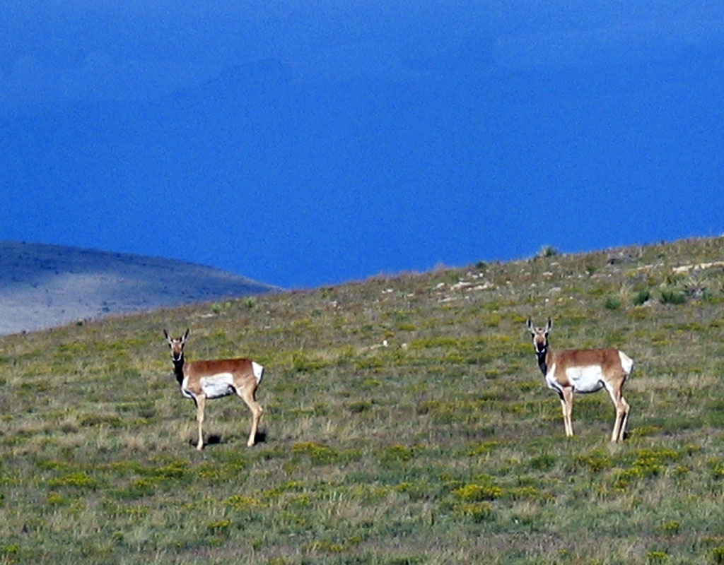
Pronghorn, Fort Union National Monument, New Mexico. Photo Credit: National Park Service.
From north to south, the Great Plains extend from Canada through Texas and into Mexico, and from east to west, cover the area between Indiana and the Rocky Mountain foothills. The Great Plains in the greater Southwest region include the High Plains, the Llano Estacado, and Edwards Plateau. The High Plains comprise the southwestern portion of the Great Plains, and include eastern Colorado, western Kansas, western Nebraska, portions of Montana, eastern New Mexico, western Oklahoma, northwestern Texas, and southeastern Wyoming. In eastern New Mexico, and the western panhandles of Texas and Oklahoma, the High Plains grade into the Llano Estacado, which, in turn, grades into Edwards Plateau.
Although highly variable in elevation, temperature, and precipitation, the plains are typically semiarid grasslands ranging from shortgrass prairie to savanna and deciduous woodlands.
Area: The total area of the Great Plains is approximately 2,900,000 sq km (1,125,000 sq mi), with the High Plains forming only a fraction of the total. The Llano Estacado comprises roughly 97,000 sq km (37,500 sq mi), and Edwards Plateau covers approximately 96,770 sq km (37,370 sq mi).
Precipitation: Precipitation on the Great Plains is higher in the east than in the west. For example, the eastern Llano Estacado average at 58 cm (23 in) per year, but the northwest portion of Edwards Plateau receives as little as 38 cm (15 in) per year. Average annual precipitation on the High Plains is 25-50 cm (10-20 in) per year.
Temperature: Like precipitation, temperatures on the Great Plains are highly variable, with the coldest temperatures to the north and the hottest temperatures to the south. West Texas, for example, ranges has between 70 and 100 days of temperatures over 90 degrees F, while winter days in North Dakota average only around 25 degrees F. On the Southwest plains, average summer temperatures above 85 degrees F are common, but so is snow in the winter time.
Elevation: The highest average elevations on the Great plains are along the foothills of the Rocky Mountains, where the elevation is around 1,800 m (6,000 ft). From the Rocky Mountain foothills, the elevation of the Great Plains decreases eastward, merging into the interior lowlands, which have an average elevation of 450 m (1,500 ft). In the southwestern portions of the Great Plains, elevation ranges from 750 meters (2,500 ft) to higher than 1,800 meters (6,000 ft). Large portions, however, are relatively flat, with little range in elevation. For example, the range of elevation on the Llano Estacado is only a couple thousand feet, from 900 meters (3,000 ft) and 1,525 meters (5,000 ft), with the plateau itself relatively flat and featureless.
Life Zones: Plains (Shortgrass Prairie) and Upper Sonoran
Vegetation: Shortgrass prairie comprised of grama and buffalo grasses dominate much of the Great Plains, but shinnery (midgrass prairie with low shrubs) and grassy savannas with mesquite, juniper and oak stands are also common in the southern regions.
Geology: The Great Plains are nearly homogenous in their sedimentary composition – a result of the region being under water for the majority of the Cretaceous period. Uplift of the Rocky Mountains results in a gentle slope from west to east, with eroded sediments from the Rockies common on the western margin of the Plains.
Prehistoric Cultures: Paleoindian, Plains Woodland Tradition, and Central Plains Tradition.
National Parks: Pecos, Salinas Pueblo Missions, Fort Union, Capulin Volcano, Bent’s Old Fort, Sand Creek Massacre, Fort Larned, Lake Meredith, Alibates Flint Quarry, Washita Battlefield, and Lyndon B. Johnson.